Are you ready to embark on a journey through the fascinating world of satellite maps? Buckle up, because we’re about to take off and explore the wonders that these technological marvels have to offer. From stunning visual representations of our planet to helping us find our way around, satellite maps have become an integral part of our lives. So, let’s dive in and uncover everything you need to know about these incredible tools!
What exactly is a satellite map?
Well, it’s a map generated using images taken from satellites orbiting our Earth. These high-resolution images capture the Earth’s surface and provide us with a bird’s-eye view of various locations around the globe. They enable us to zoom in and out, giving us a detailed understanding of the terrain, buildings, roads, and natural features.
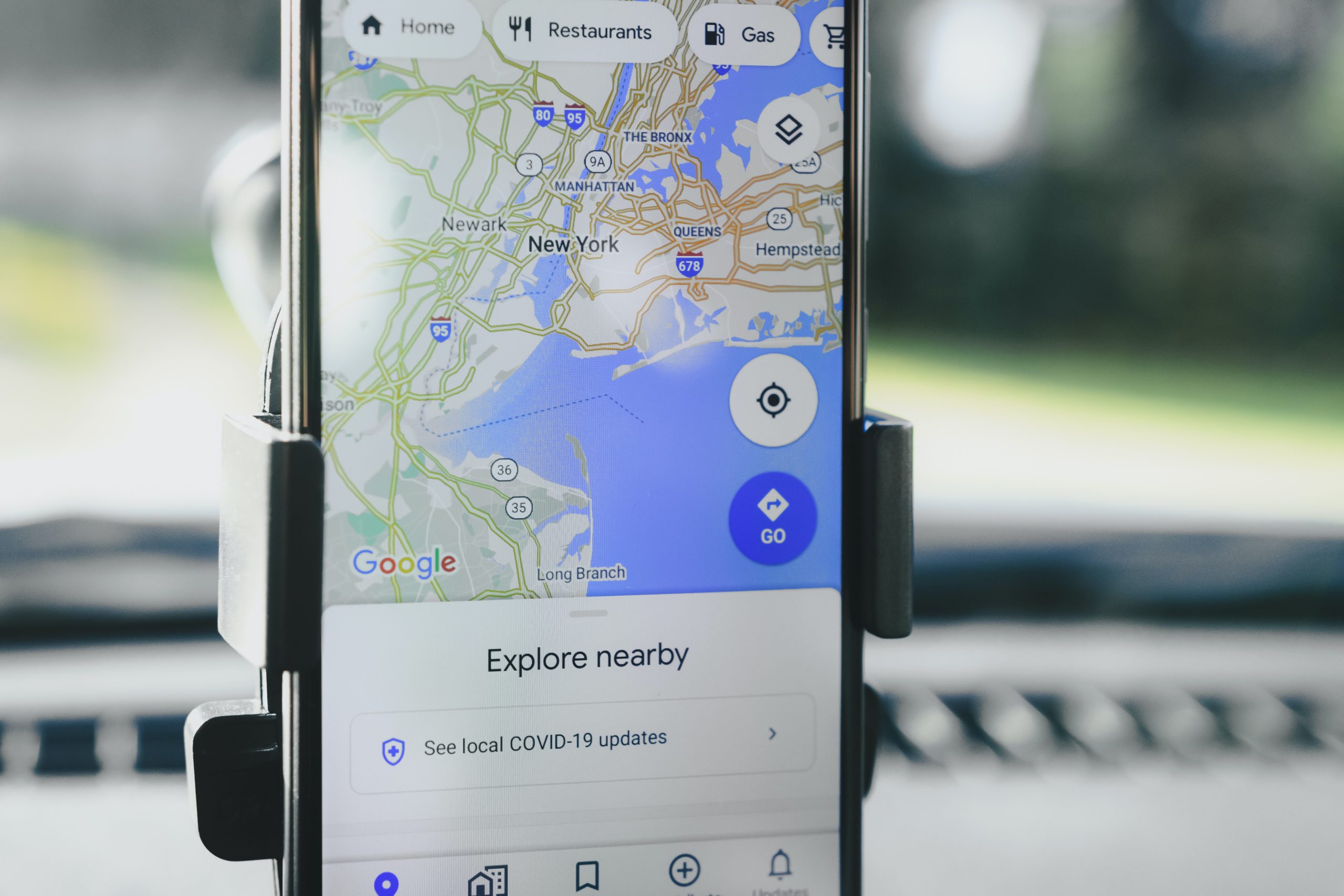
One of the most popular satellite mapping services out there is, of course, Google Maps. Raise your hand if you’ve ever used it to explore a new city or plan a road trip! Google Maps uses a combination of satellite imagery, aerial photography, and 3D rendering to create a comprehensive mapping experience. It’s like having a digital atlas at your fingertips!
How Satelite Map Works
Satellite maps have revolutionized the way we navigate and explore our planet. Whether you’re looking for directions, scouting a new hiking trail, or simply trying to locate the nearest coffee shop, satellite maps have got you covered. With just a few clicks, you can zoom in on your destination, check out the surrounding areas, and even get a street-level view through Google Street View.
But satellite maps aren’t just about convenience and getting from point A to point B. They also play a crucial role in fields such as urban planning, environmental monitoring, and disaster management. These maps provide valuable information for assessing the impact of human activities on the environment, tracking changes in land use, and identifying areas prone to natural disasters. They help us make informed decisions about our planet’s resources and work towards a more sustainable future.

Now, let’s talk about some fun and mind-boggling facts about satellite maps. Did you know that the highest-resolution satellite imagery available to the public has a ground resolution of about 30 centimeters per pixel? That means you can spot objects as small as a dinner plate from space! Isn’t that mind-blowing?
Satellite maps are not limited to just Earth.
Other planets and moons are also mapped in our solar system using satellites and spacecraft. Thanks to these interplanetary explorers, we have detailed maps of Mars, the moon, and even some of Jupiter’s moons. As technology advances, satellite maps continue to evolve. New satellites equipped with better sensors and cameras are constantly being launched, providing us with even more detailed and up-to-date imagery. We can expect to see sharper images, improved 3D models, and real-time updates becoming the norm in the future.

So there you have it, folks! Satellite maps are like windows to the world, allowing us to explore and understand our planet in ways we never thought possible. From helping us find our way to unraveling the mysteries of other celestial bodies, these maps have become an integral part of our modern lives. So, the next time you’re planning a trip or simply curious about the world around you, take a moment to appreciate the incredible technology that brings these maps to us. Now, let’s take a closer look at how satellite map technology is making a significant impact on the real estate industry, particularly through innovative platforms like Sytemap.
Impact of Satellite Map in Real Estate
Imagine you’re in the market for a new home or looking to invest in real estate. Naturally, you want to have as much information as possible before making such an important decision. This is where Sytemap comes into play, utilizing satellite maps to provide potential buyers and investors sufficient resources to make informed decisions. Sytemap takes advantage of satellite imagery and mapping technology to create detailed visualizations of properties and their surrounding areas. With just a few clicks, users can explore a neighborhood, zoom in on specific properties, and gather essential information about the area’s amenities, schools, transportation, and more.

One of the greatest challenges in the real estate industry is building trust between buyers, sellers, and agents. Systemap helps bridge this gap by offering transparent and reliable information that is easily accessible to everyone involved. By providing accurate and up-to-date satellite maps, Sytemap allows users to independently verify the details of a property, ensuring transparency and minimizing surprises on land encumbrances.
For buyers, this means having the ability to explore potential neighborhoods virtually and gain a better understanding of the property’s surroundings. You can see if there are nearby parks, shopping centers, or any other features that are important to you. No more relying solely on word-of-mouth or outdated information. Sytemap puts the power in your hands, giving you the confidence to make informed decisions.
Similarly, sellers and agents benefit from Sytemap’s technology as well. They can showcase their listings with stunning visuals, highlighting the property’s unique features and its proximity to desirable amenities. By leveraging satellite maps, Sstemap allows sellers to present their properties in the best possible light, attracting potential buyers and setting themselves apart in a competitive market. This level of detail empowers both buyers and sellers to have more meaningful discussions, negotiate confidently, and ultimately build trust throughout the real estate transaction.
In a nutshell, Sytemap is intentional about changing the game by harnessing the power of satellite maps in the real estate industry. With this technology at your fingertips, you can navigate the real estate market with greater confidence and peace of mind. As satellite map technology continues to advance, we can expect even more exciting developments in the real estate industry. Enhanced visualizations, augmented reality integrations, and real-time updates are just a few possibilities that could reshape how we buy, sell, and invest in properties.
So, whether you’re an aspiring buyer, a seasoned investor, or simply curious about the world around you, keep an eye on how satellite maps are transforming the real estate landscape. Here is to building trust and making informed decisions in the real estate industry has never been easier.